






Earthquakes in Chile via the CSN
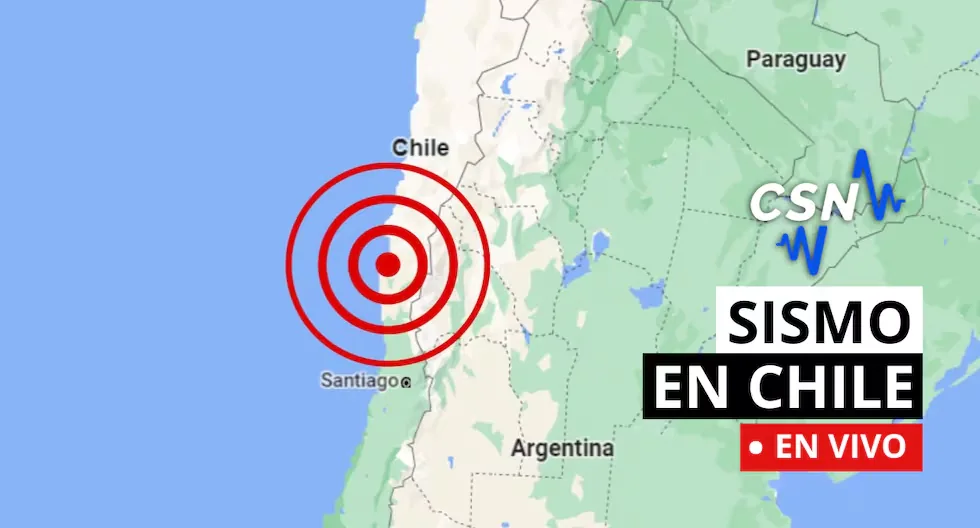
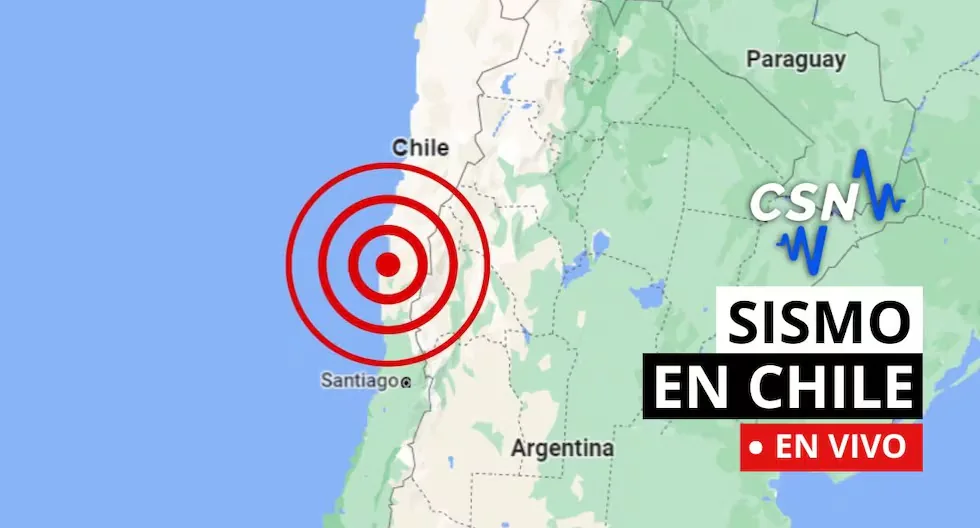
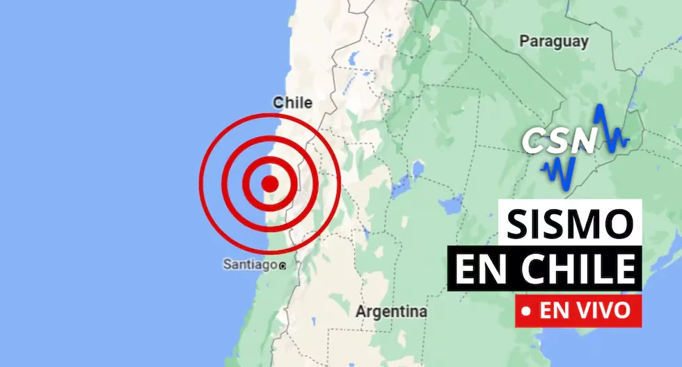
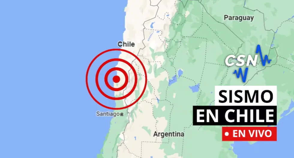
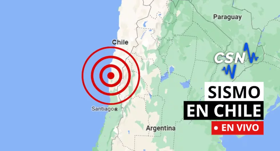
Follow live reports of earthquakes in Chile, according to the National Seismological Center (CSN). You can also check related news, as well as recommendations for these types of situations.
13:08
- Earthquake 40 km W of Ollagüe
- Local Time 13:12:12 12/09/2026
- UTC Time 16:12:12 12/09/2026
- Latitude -21.25
- Longitude -68.64
- Depth 147 km
- Magnitude 2.7 MLv
13:08
- Earthquake 57 km E of Moquegua
- Local Time 13:04:38 12/09/2026
- UTC Time 16:04:38 12/09/2026
- Latitude -17.39
- Longitude -70.44
- Depth 122 km
- Magnitude 4.3 MLv
11:08
- Earthquake 54 km S of Mina Collahuasi
- Local Time 12:22:27 12/09/2026
- UTC Time 15:22:27 12/09/2026
- Latitude -21.29
- Longitude -68.81
- Depth 116 km
- Magnitude 2.7 MLv
09:39
- Earthquake 69 km E of Quillagua
- Local Time 10:49:07 12/09/2026
- UTC Time 13:49:07 12/09/2026
- Latitude -21.61
- Longitude -68.87
- Depth 83 km
- Magnitude 2.8 MLv
09:38
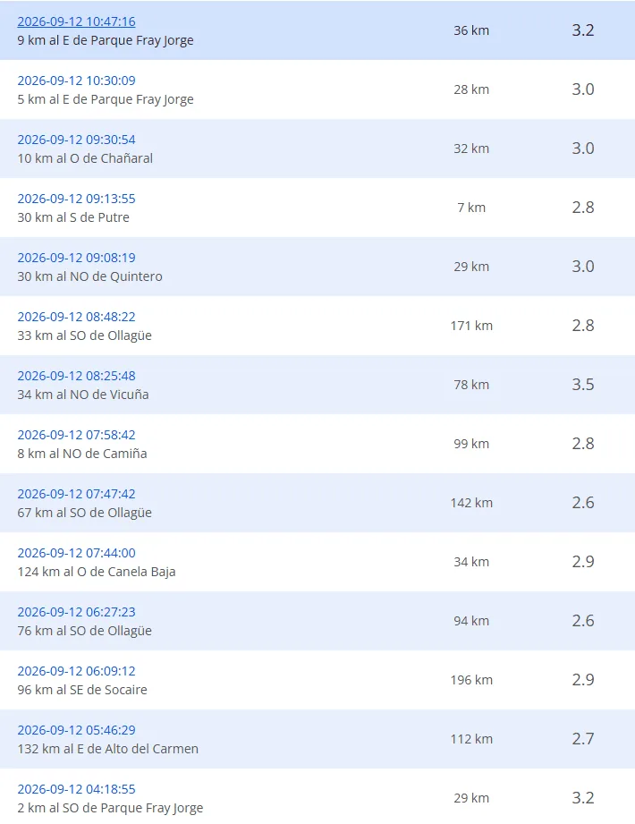
- Earthquake 9 km E of Parque Fray Jorge
- Local Time 10:47:16 12/09/2026
- UTC Time 13:47:16 12/09/2026
- Latitude -30.65
- Longitude -71.59
- Depth 36 km
- Magnitude 3.2 MLv
09:37
- Earthquake 5 km E of Parque Fray Jorge
- Local Time 10:30:09 12/09/2026
- UTC Time 13:30:09 12/09/2026
- Latitude -30.65
- Longitude -71.63
- Depth 28 km
- Magnitude 3.0 MLv
09:36
- REPORTS OF THE LATEST EARTHQUAKES:
23:50
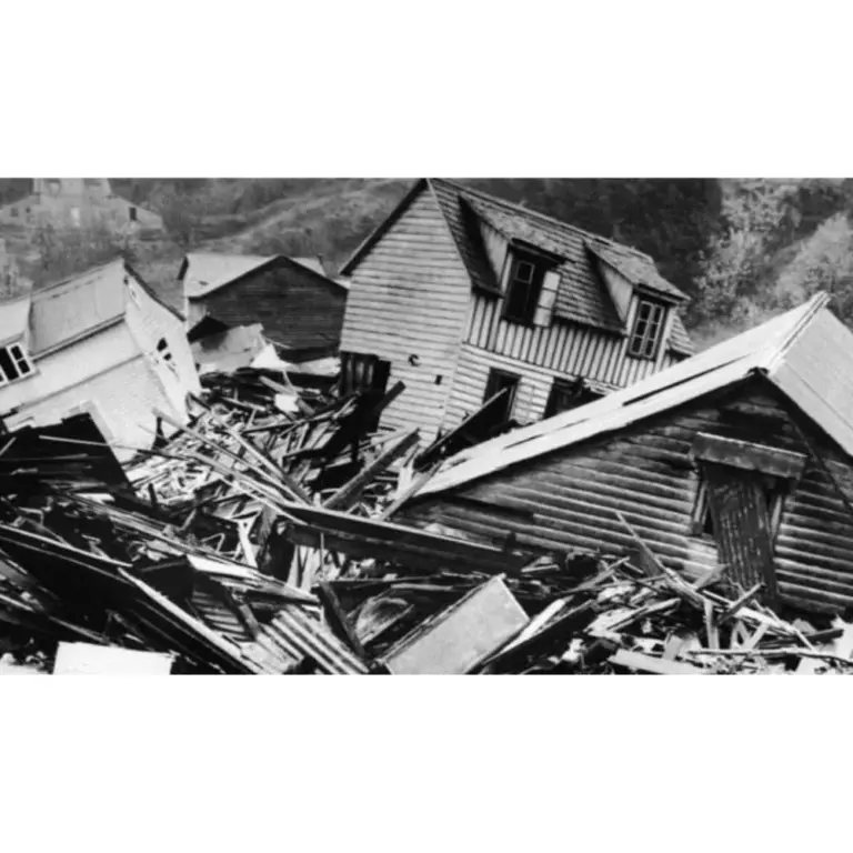
- WHAT IS THE LARGEST MAGNITUDE EARTHQUAKE RECORDED IN CHILE?
- The earthquake on May 22, 1960, recorded in Valdivia with a magnitude of 9.5 is the strongest earthquake recorded in the country.
23:48
- WHAT IS THE PACIFIC RING OF FIRE?
- The Pacific Ring of Fire is a geologically active region surrounding the Pacific Ocean and the continents that border its waters. It is characterized by a high frequency of earthquakes and volcanic activity. It extends approximately 40,000 kilometers, including subduction zones where tectonic plates collide (such as the Nazca Plate), generating frequent volcanoes and earthquakes.
23:47
- WHAT IS SEISMIC SILENCE?
- Seismic silence is a prolonged period without significant seismic activity or intensity in a region, which may indicate the accumulation of tectonic stresses and an increased risk of a future earthquake.
23:46
- WHY IS CHILE A HIGHLY SEISMIC COUNTRY?
- Chile is located on the western edge of the South American Plate, where the Nazca and Antarctic plates converge and generate earthquakes. This is one of the zones of the Ring of Fire.
23:45
- WHAT IS THE DIFFERENCE BETWEEN THE MAGNITUDE AND INTENSITY OF AN EARTHQUAKE?
- They are scales to measure the size or impact of a tremor. The magnitude scale is obtained numerically from records obtained by seismographs and is related to the size and energy released during a tremor. The intensity scale is assigned based on the damage or effects caused to people and their constructions.
23:44
- WHAT TO DO IN CASE OF A TSUNAMI?
- If you receive official tsunami alert or alarm information or see the sea receding, evacuate to higher areas. Move to a flood-free zone and head to the nearest meeting point. If you cannot reach a higher area, go to an upper floor or the roof of a solid building.
23:43
Follow live reports of the latest earthquakes in Chile recorded by the National Seismological Center. Also check related news and recommendations for acting in these types of situations.
Read more DAZN: how to watch Real Madrid vs Rayo Vallecano live for LaLiga EA Sports 2026