![Alberto Beingolea: “If they insist on not giving [the powers], they are complicating life for Peru”](https://insightermedia.com/wp-content/uploads/2026/09/bb3fa9e11304ea13fe2cd333955007bc-150x150.webp "Alberto Beingolea: “If they insist on not giving [the powers], they are complicating life for Peru”")



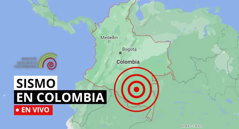
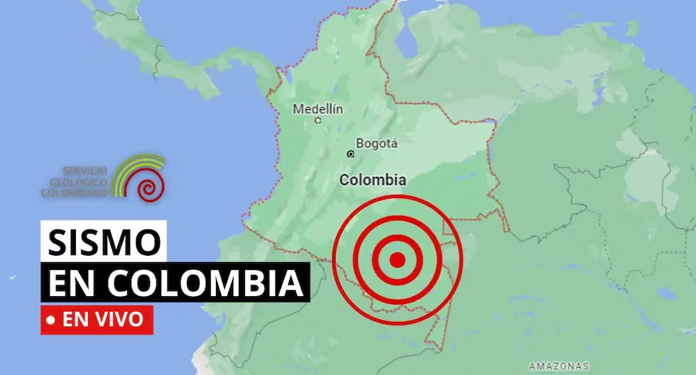
Earthquake in Colombia via the Geological Service
The SGC has a total of 339 seismic stations, located throughout the Colombian territory and in specific areas such as active volcanoes. 206 seismic stations are located covering the entire territory corresponding to the National Seismic Network and 133 seismic stations installed on the active Colombian volcanoes that are permanently monitored in three volcanological and seismological observatories.
Read more Hayden Panettiere’s mother mourns the actress’s death and questions the presence of her ex-boyfriend
Find out here about the earthquakes that occurred in Colombian territory, reported by the Geological Service. Here we tell you which were the latest.
- Earthquake in Los Santos – Santander, Colombia
- Magnitude: 2.8
- Depth: 149 km
- Local time: 2026-08-19 13:18:47
- UTC time: 2026-08-19 18:18:47
- Latitude: 6.82°
- Longitude:-73.14°
- HOW ARE EARTHQUAKES DETECTED?
- • As seismic waves propagate, they cause the ground to move where they pass. To record these movements, equipment called seismographs or accelerographs are used, whose operating principle, based on the inertia of bodies, consists of a mass suspended by a spring that allows it to remain at rest for a few moments relative to the ground movement. If a pencil that can draw on paper attached to a cylinder rotating at a constant speed is attached to the suspended mass, a record of the ground movement or seismogram is thus obtained.
- • Modern seismographs use this same operating principle, only that for their implementation they use mechanical and electronic components to obtain an electrical signal proportional to the ground movement, which can be stored locally or transmitted by some means of communication (telephone, radio, satellite) to an acquisition center.
- What should an emergency backpack for 72 hours contain?
- According to the report presented by 90 Minutos, the emergency backpack should have drinking water, non-perishable food, a change of clothes, hygiene kit, first aid kit, protective glasses, flashlight, radio, cell phone, matches, cash, identification document, whistle, paper and pencil, and a knife. These items provide the basics to face the first 72 hours after an emergency where services and mobility may be affected.
- What to do during an earthquake?
Rescue entities agree on a list of recommendations in case an earthquake occurs.
- Stay calm and avoid running.
- Stay away from windows and shelves.
- At home, seek shelter in places considered safe, such as bathrooms.
- Stay away from trees, electrical wires, and buildings.
- If driving a vehicle, park in an area away from bridges or overpasses.
- Call ECU911 if you find injured people.
- Earthquake in Becerrill – Cesar, Colombia
- Magnitude: 2.2
- Depth: Shallow (Less than 30 km)
- Local time: 2026-08-19 11:31:47
- UTC time: 2026-08-19 16:31:47
- Latitude: 9.85°
- Longitude:-72.98°
- Earthquake in Sipí – Chocó, Colombia
- Magnitude: 2.6
- Depth: 131 km
- Local time: 2026-08-19 09:33:56
- UTC time: 2026-08-19 14:33:56
- Latitude: 4.79°
- Longitude:-76.51°
- Earthquake in Uribe – Meta, Colombia
- Magnitude: 2.1
- Depth: Shallow (Less than 70 km)
- Local time: 2026-08-19 09:21:03
- UTC time: 2026-08-19 14:21:03
- Latitude: 3.58°
- Longitude:-74.42°
Earthquake in Los Santos – Santander, Colombia
Magnitude: 2.8
Depth: 152 km
Local time: 2026-08-19 08:46:36
UTC time: 2026-08-19 13:46:36
Latitude: 6.81°
Longitude: -73.14°
Earthquake in Los Santos – Santander, Colombia
Magnitude: 3
Depth: 156 km
Local time: 2026-08-19 08:23:55
UTC time: 2026-08-19 13:23:55
Latitude: 6.86°
Longitude: -73.07°
Earthquake in Istmina – Chocó, Colombia
Magnitude: 2.9
Depth: 81 km
Local time: 2026-08-19 08:18:32
UTC time: 2026-08-19 13:18:32
Latitude: 4.45°
Longitude: -76.73°
Earthquake in Sipí – Chocó, Colombia
Magnitude: 2.7
Depth: Shallow (Less than 30 km)
Local time: 2026-08-19 07:27:27
UTC time: 2026-08-19 12:27:27
Latitude: 4.52°
Longitude: -76.58°
WHAT IS THE DIFFERENCE BETWEEN EARTHQUAKE, TREMOR, SEISM, AND TELURIC MOVEMENT?
Actually, the four terms are synonyms, but in Latin America special emphasis has been given to the expression earthquake to be assigned to destructive earthquakes or those that have caused victims.
HOW MANY SEISMOGRAPHS ARE THERE?
NATIONAL SEISMOLOGICAL NETWORK OF COLOMBIA-RSNC
The SGC has a total of 339 seismic stations, located throughout the Colombian territory and in specific areas such as active volcanoes. 206 seismic stations are located covering the entire territory corresponding to the National Seismic Network.
There are 133 seismic stations installed on the active Colombian volcanoes that are permanently monitored in three volcanological and seismological observatories.
WHAT IS THE COLOMBIAN GEOLOGICAL SERVICE?
The SGC is a century-old science and technology entity attached to the Ministry of Mines and Energy, whose objective is to contribute to the economic and social development of the country, through research in basic and applied geosciences of the subsoil, the potential of its resources, the evaluation and monitoring of geological threats, the comprehensive management of geoscientific knowledge, research and nuclear and radioactive control, attending to the priorities of the National Government’s policies.
09:35
What was the magnitude and where was the last tremor? See here the reports from the Colombian Geological Service (SGC) about the latest earthquakes in the country.