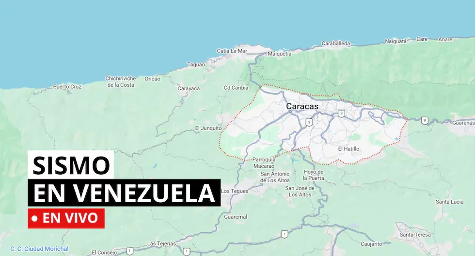






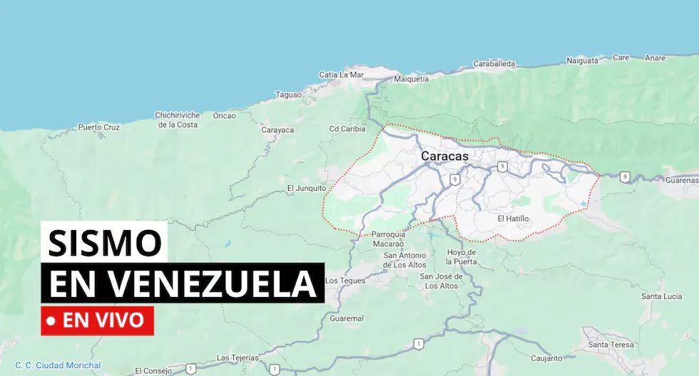
Earthquakes in Venezuela: latest tremors, epicenter and magnitude
- Earthquake 48 km east of Churuguara
Depth: 10.8 km
Magnitude: 2.6
- Earthquake 6 km southwest of Naiguata
Depth: 5.3 km
Magnitude: 2.3
- According to Infobae, Venezuela announced the demolition of 39 buildings with severe structural damage in the state of La Guaira (north, adjacent to Caracas) , the most affected by the devastating double earthquake of last June 24, according to a note released this Monday by the state Venezuelan News Agency (AVN).
- What to do if I am on the street when an earthquake starts?
Look for an open place away from poles, trees or buildings. Beware of electrical wires. If you are driving, stop carefully in a safe place.
- Earthquake 43 km east of Churuguara
- Date: 08-09-2026
- Time:19:13
- Depth: 1.4 km
- Magnitude: 2.2
- WHAT ARE THE TECTONIC PLATES FOUND IN VENEZUELA?
- The Caribbean plate is the geological zone that covers Central America and the Caribbean Sea, while the South American plate supports almost the entire South American area and part of the Atlantic Ocean floor.
- Both plates mainly interact in northern South America through lateral slips and subduction zones (convergent boundary where a larger plate sinks beneath a lighter one towards the Earth’s mantle).
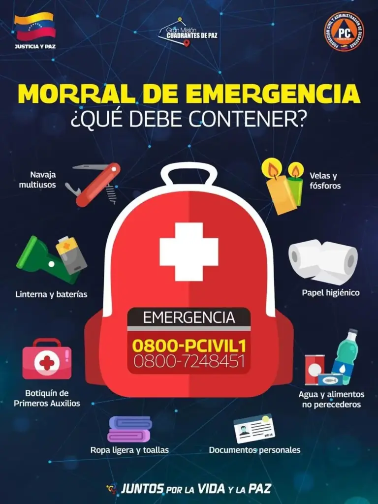
- CHECK WHAT AN EMERGENCY HOME BACKPACK SHOULD CONTAIN.
- Earthquake 9 km southeast of La Victoria
- Date: 08-09-2026
- Time:16:26
- Depth: 23.1 km
- Magnitude: 2.3
- Why are several magnitudes reported for the same earthquake?
Because the first information comes from nearby stations and is adjusted as more data arrives from different sensors. Science continues calculating after the first alert.
- How do we know an earthquake will happen?
Earthquakes cannot be predicted, but seismographs and accelerographs detect ground movements in real time to alert us as quickly as possible.
- Earthquake 35 km south of Bucaramanga
Depth: 162.0 km
Magnitude: 3.3
- Earthquake 40 km northwest of Aroa
Depth: 3.4 km
Magnitude: 2.4
- How to act during an earthquake?
• Go to already established safety zones.
• Stay away from glass or objects that could fall.
• If possible, avoid panic and try to stay calm.
• Do not run in vehicle traffic areas.
• If you are driving, stop your vehicle.
• If you are in a building, do not use the elevator, always use the stairs.
• Be attentive to minors, disabled people, and the elderly.
- Earthquake 23 km north of La Victoria
Depth: 1.1 km
Magnitude: 1.8
- Earthquake 42 km east of Churuguara
Depth: 11.5 km
Magnitude: 3.0
- How often should the survival kit be checked?
It is recommended to check the backpack every 6 months to verify the expiration date of food, water, and medicines, as well as the condition of batteries.
Read more Energy and Mines Commission backtracks on controversial work plan: what points were modified?
- How often should the survival kit be checked?
It is recommended to check the backpack every 6 months to verify the expiration date of food, water, and medicines, as well as the condition of batteries.
- Earthquake 41 km northwest of Aroa
Depth: 5.0 km
Magnitude: 2.5
- Earthquake 22 km northwest of Aroa
Depth: 5.7 km
Magnitude: 2.1
- Earthquake 40 km northwest of Aroa
Depth: 5.0 km
Magnitude: 1.7
- Earthquake 44 km east of Churuguara
Depth: 9.1 km
Magnitude: 2.8
- Earthquake 41 km east of Churuguara
Depth: 8.0 km
Magnitude: 2.3
- WHAT ARE THE TECTONIC PLATES FOUND IN VENEZUELA?
- The Caribbean plate is the geological zone that covers Central America and the Caribbean Sea, while the South American plate supports almost the entire South American area and part of the Atlantic Ocean floor.
- Both plates mainly interact in northern South America through lateral slips and subduction zones (convergent boundary where a larger plate sinks beneath a lighter one towards the Earth’s mantle).
- WHAT IS SEISMIC SILENCE?
- Seismic silence is a prolonged period without significant seismic activity or intensity in a region, which may indicate the accumulation of tectonic stresses and an increased risk of a future earthquake.
- WHAT TO DO IN CASE OF A TSUNAMI?
- If you receive official tsunami alert or alarm information or see the sea receding, evacuate to higher areas. Move to a flood-free zone and head to the nearest meeting point. If you cannot reach a higher area, go to an upper floor or the roof of a solid building.
- WHAT IS THE DIFFERENCE BETWEEN MAGNITUDE AND INTENSITY OF AN EARTHQUAKE?
- They are scales to measure the size or impact of a tremor. The magnitude scale is obtained numerically from records by seismographs and relates to the size and energy released during a tremor. The intensity scale is assigned based on the damage or effects caused to people and their constructions.
- WHAT IS FUNVISIS?
- The Venezuelan Foundation for Seismological Research (Funvisis) is the organization responsible for conducting and promoting seismological research and studies, as well as operating and maintaining the stations of Venezuela’s seismological service, from where all seismic activity in that country is recorded and monitored.
In this note you can review the latest earthquakes in Venezuela with information from the official reports of the Venezuelan Foundation for Seismological Research (Funvisis).
Read more Napoli vs. Arsenal: date, times and channels to watch the UEFA Champions League match