






Earthquake in Colombia via the Geological Service
The SGC has a total of 339 seismic stations, located throughout the Colombian territory and in specific areas such as active volcanoes. 206 seismic stations are located covering the entire territory corresponding to the National Seismic Network and 133 seismic stations installed on the active Colombian volcanoes that are permanently monitored in three volcanological and seismological observatories.
Read more Does Ale Baigorria blame Magaly for her problems? The host did not stay silent
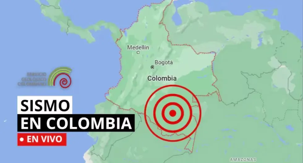
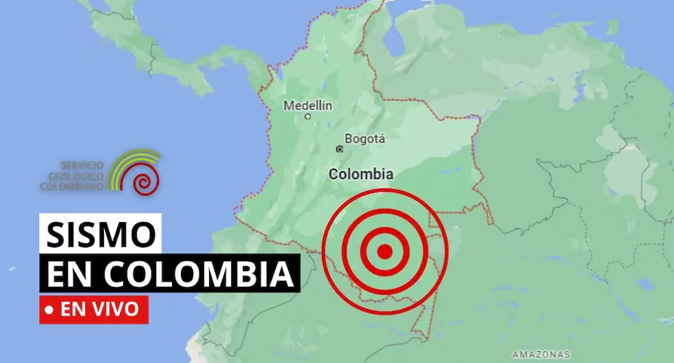
Find out here about the earthquakes that have occurred in Colombian territory, reported by the Geological Service. Here we tell you which were the latest.
- HOW MANY EARTHQUAKES OCCUR ON AVERAGE PER MONTH IN COLOMBIA?
- • There are 2,500 earthquakes per month, but most are not of significant magnitude or intensity.
- Earthquake in Agustín Codazzi – Cesar
- • Date and Local Time: 2026-09-11 12:27
- • Magnitude: 2.6
- •Depth: superficial
- •Latitude: 9.97
- •Longitude: -73.08
- Earthquake in Istmina – Chocó
- •Date and Local Time: 2026-09-11 11:42
- • Magnitude: 4.5
- • Depth: 41 km
- •Latitude: 4.42
- •Longitude: -76.72
- WHERE IN COLOMBIA DO MOST EARTHQUAKES OCCUR?
- • The most seismically active places in the country are the coasts and around our mountain ranges.
- WHY ARE THERE SO MANY EARTHQUAKES IN COLOMBIA?
- • Colombia is located in the northwestern corner of South America, where the South American, Nazca, and Caribbean tectonic plates converge; a characteristic that explains the high level of seismicity in the country. “El Comercio Newspaper. All rights reserved.”
Earthquake in Dabeiba – Antioquia, Colombia
Magnitude: 2.3
Depth: Superficial (Less than 30 km)
Local time: 2026-09-11 09:11:45
UTC time: 2026-09-11 14:11:45
Latitude: 6.93°
Longitude: -76.49°
Earthquake in Istmina – Chocó, Colombia
Magnitude: 2.5
Depth: Superficial (Less than 70 km)
Local time: 2026-09-11 08:53:38
UTC time: 2026-09-11 13:53:38
Latitude: 4.55°
Longitude: -76.82°
Earthquake in Frontino – Antioquia, Colombia
Magnitude: 2.6
Depth: Superficial (Less than 30 km)
Local time: 2026-09-11 07:55:14
UTC time: 2026-09-11 12:55:14
Latitude: 6.81°
Longitude: -76.27°
Earthquake in Sipí – Chocó, Colombia
Magnitude: 2.7
Depth: 41 km
Local time: 2026-09-11 07:19:06
UTC time: 2026-09-11 12:19:06
Latitude: 4.60°
Longitude: -76.68°
What to do before an earthquake
• Have your emergency backpack ready.
• Identify safe zones at home, work, and on the street.
• Participate in drills.
What to do during an earthquake
• Stay calm.
• Protect yourself under a sturdy table or in the life triangle.
• Stay away from windows and objects that may fall.
What to do after an earthquake
• Assess damage and check for injured people.
• Use text messages to communicate and avoid overloading phone lines.
• Stay away from damaged buildings and follow authorities’ instructions.
What to do if I am on the street when an earthquake starts?
Look for an open place away from poles, trees, or buildings. Beware of electrical wires. If you are driving, stop carefully in a safe place.
How to know if an earthquake is strong?
There are two ways:
– Magnitude, measured on the Richter scale, indicates the energy released.
– Intensity, measured on the Mercalli scale, measures the impact on people and structures.
How do we know an earthquake will happen?
Earthquakes cannot be predicted, but seismographs and accelerographs detect ground movements in real time to alert us as quickly as possible.
Why are several magnitudes reported for the same earthquake?
Because the first information comes from nearby stations and is adjusted as more data arrives from different sensors. Science continues calculating after the first alert.
How is a tremor different from an earthquake?
Both are movements of the Earth, but we usually call “earthquake” those of greater magnitude and destructive impact, while “tremor” is used for milder earthquakes.
- How much should the survival backpack weigh?
The ideal weight should not exceed 25% of the body weight of the person who will carry it, ensuring a quick and agile evacuation.
Read more Programmer’s Day: what it is and why this date is celebrated
- Earthquake in El Litoral del San Juán (Docordó) – Chocó, Colombia
Magnitude: 2.4
Depth: 42 km
Local time: 2026-09-10 14:25:11
UTC time: 2026-09-10 19:25:11
Latitude: 4.32°
Longitude: -76.73°
- Can an earthquake be predicted?
Currently, it is impossible to determine, since the Earth itself presents a wide dynamic regarding its movements, considering that it is not only about predicting when it will shake, but also being able to determine the intensity, magnitude, depth, and other important factors.
- Earthquake in Venezuela – Colombia, Border Region
Magnitude: 3.6
Depth: Superficial (Less than 30 km)
Local time: 2026-09-10 10:55:26
UTC time: 2026-09-10 15:55:26
Latitude: 10.94°
Longitude: -72.39°
- Earthquake in Buriticá – Antioquia, Colombia
Magnitude: 2.9
Depth: 31 km
Local time: 2026-09-10 10:41:44
UTC time: 2026-09-10 15:41:44
Latitude: 6.74°
Longitude: -75.93°
- Earthquake in Totoró – Cauca, Colombia – Influence Area of the Puracé Volcano
Magnitude: 3.1
Depth: Superficial (Less than 30 km)
Local time: 2026-09-10 10:22:46
UTC time: 2026-09-10 15:22:46
Latitude: 2.40°
Longitude: -76.34°
- Earthquake in Los Santos – Santander, Colombia
Magnitude: 2.3
Depth: 126 km
Local time: 2026-09-10 05:38:49
UTC time: 2026-09-10 10:38:49
Latitude: 6.85°
Longitude: -73.13°
- Earthquake in Bajo Baudó (Pizarro) – Chocó, Colombia
Magnitude: 2.6
Depth: Superficial (Less than 30 km)
Local time: 2026-09-10 04:19:57
UTC time: 2026-09-10 09:19:57
Latitude: 5.32°
Longitude: -77.04°
- Earthquake in Venezuela – Colombia, Border Region
Magnitude: 2.7
Depth: 193 km
Local time: 2026-09-10 03:52:46
UTC time: 2026-09-10 08:52:46
Latitude: 7.49°
Longitude: -72.46°
- Earthquakes in Los Santos – Santander, Colombia
Magnitude: 2.8
Depth: 135 km
Local time: 2026-09-10 03:28:18
UTC time: 2026-09-10 08:28:18
Latitude: 6.89°
Longitude: -73.13°
WHAT IS THE DIFFERENCE BETWEEN EARTHQUAKE, TREMOR, SEISM, AND TELURIC MOVEMENT?
Actually, the four terms are synonyms, but in Latin America special emphasis has been given to the expression earthquake to be assigned to destructive earthquakes or those that have caused victims.
WHAT IS AN EARTHQUAKE?
An earthquake is a sudden breaking of rocks inside the Earth. This sudden release of energy propagates in the form of waves that cause ground movement.
HOW MANY SEISMOGRAPHS ARE THERE?
NATIONAL SEISMOLOGICAL NETWORK OF COLOMBIA-RSNC
The SGC has a total of 339 seismic stations, located throughout the Colombian territory and in specific areas such as active volcanoes. 206 seismic stations are located covering the entire territory corresponding to the National Seismic Network.
There are 133 seismic stations installed on the active Colombian volcanoes that are permanently monitored in three volcanological and seismological observatories.
WHAT IS THE COLOMBIAN GEOLOGICAL SERVICE?
The SGC is a century-old science and technology entity attached to the Ministry of Mines and Energy, whose objective is to contribute to the economic and social development of the country, through research in basic and applied geosciences of the subsurface, the potential of its resources, the evaluation and monitoring of geological hazards, the comprehensive management of geoscientific knowledge, research and nuclear and radioactive control, attending to the priorities of the National Government’s policies.
07:27
What was the magnitude and where was the last tremor? See here the reports from the Colombian Geological Service (SGC) about the latest earthquakes in the country.
Read more Teletón 2026 LIVE: everything about the start, the goal, and ways to donate