![Alberto Beingolea: “If they insist on not giving [the powers], they are complicating life for Peru”](https://insightermedia.com/wp-content/uploads/2026/09/bb3fa9e11304ea13fe2cd333955007bc-150x150.webp "Alberto Beingolea: “If they insist on not giving [the powers], they are complicating life for Peru”")



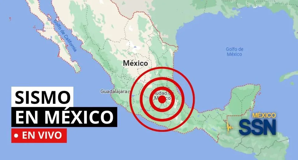
EARTHQUAKE IN MEXICO VIA THE NATIONAL SEISMIC SERVICE
In the context of Plate Tectonics, Mexico is located in the so-called Ring of Fire, where a large part of the seismic movements worldwide are recorded. The country is located on the North American Plate, bordered on its southern and western portion by the Cocos, Rivera, and Pacific plates.
Read more La Tinka live: result of Wednesday, August 5 and millionaire jackpot of S/ 22.5 million
Mexico is one of the countries in the world with the highest seismic activity, since, according to statistics, more than 90 earthquakes per year with a magnitude greater than 4 on the Richter scale are recorded, which is equivalent to 60% of all seismic movements recorded worldwide.
Based on statistical records, the states with the highest risk and where large magnitude earthquakes that can affect Mexico City occur are: Jalisco, Colima, Michoacán, Guerrero, Oaxaca, Puebla, State of Mexico, and Veracruz.
- Can earthquakes be predicted with current technology?
- No. The date, location, and magnitude of an earthquake cannot be predicted. Only long-term statistical probability estimates can be made in certain areas.
- Does volcanic activity influence earthquakes in Mexico?
- In some areas, volcanic activity can generate volcano-tectonic earthquakes, but most Mexican earthquakes are due to tectonic plate processes.
- What have been the strongest earthquakes recorded in Mexico in recent history?
- Among the strongest are the magnitude 8.1 earthquake of 1985 on the coast of Michoacán, the magnitude 8.2 earthquake on September 7, 2017, in the Gulf of Tehuantepec, and other events greater than magnitude 7 in the Mexican Pacific.
- Who issues the alert?
In Mexico, alerts are issued by the Mexican Seismic Alert System (SASMEX), developed and operated by the Instrumentation and Seismic Recording Center (CIRES). This system started after the 1985 earthquake and today protects key cities such as Mexico City, Oaxaca, Puebla, Morelos, Guerrero.
- How does it detect earthquakes?
- SASMEX operates from the earthquake site: its network of up to 97 sensors located on the Pacific coasts detects the first seismic waves (P, less destructive). When it is calculated that an earthquake may be dangerous, an alert is sent.
- How much warning can you get?
- Radio waves travel much faster than seismic waves, so the alert arrives before the shaking starts. These signals can give you between 20 and up to 120 seconds of warning, depending on the distance from the epicenter.
- What types of alerts exist?
SASMEX issues two levels of alert:
- Preventive: when a minor impact tremor is expected (less than magnitude 5).
- Public: for strong earthquakes, with potential damage (6 or more).
- The alert is delivered through radio stations, television, and loudspeakers; additionally, it is broadcast on certified devices such as Alertándote. Do not rely solely on apps: radio transmission is more reliable in critical situations.
- WHY DO SO MANY EARTHQUAKES OCCUR IN MEXICO?
In the context of Plate Tectonics, Mexico is located in the so-called Ring of Fire, where a large part of the seismic movements worldwide are recorded. The country is located on the North American Plate, bordered on its southern and western portion by the Cocos, Rivera, and Pacific plates.
- How is the magnitude of an earthquake determined?
- The magnitude of a tremor is related to the energy released in the form of seismic waves that propagate through the ground. To calculate this energy and determine the magnitude of a tremor, mathematical calculations are made based on records obtained by seismographs from different stations. In these records or seismograms, the maximum amplitude of the waves and the distance of the station from the epicenter are measured. These values are input into a formula, thus obtaining the magnitude.
- As of 8:00 PM on August 4, 2026, 1,426 aftershocks of the M 7.4 earthquake that occurred in Ciudad Hidalgo, Chiapas on July 17, 2026, have been recorded, the largest with a magnitude of M 6.5
How is a tremor different from an earthquake?
Both are movements of the Earth, but we usually call “earthquake” those of greater magnitude and destructive impact, while “tremor” is used for milder earthquakes.
Why are several magnitudes reported for the same earthquake?
Because the first information comes from nearby stations and is adjusted as more data arrives from different sensors. Science continues calculating after the first alert.
Earthquake 107 km SOUTH of RIO GRANDE, OAX
Magnitude 4.1
Date: 2026-08-05
Time: 3:51:22 (Central Time)
Latitude: 15.073º
Longitude: -97.675º
Depth: 10.0 km
Earthquake 24 km NORTHWEST of CINTALAPA, CHIS
Magnitude 4.2
Date: 2026-08-05
Time: 0:41:00 (Central Time)
Latitude: 16.867º
Longitude: -93.866º
Depth: 153.4 km
Earthquake 124 km SOUTHWEST of CD HIDALGO, CHIS
Magnitude 4.5
Date: 2026-08-05
Time: 0:13:44 (Central Time)
Latitude: 13.666º
Longitude: -92.638º
Depth: 8.9 km
WHAT IS THE LARGEST MAGNITUDE EARTHQUAKE THAT SHOOK MEXICO CITY?
On September 19, 1985, Mexico City experienced a devastating 8.1 magnitude earthquake, with its epicenter on the Pacific coast.
It is estimated that at least 10,000 people lost their lives, affecting and collapsing thousands of housing, commercial, and public service structures.
WHAT IS AN EARTHQUAKE?
An earthquake is a sudden breaking of rocks inside the Earth. This sudden release of energy propagates in the form of waves that cause ground movement.
HOW LONG DOES AN EARTHQUAKE LAST AND WHY DOES THE SSN NOT REPORT THIS DATA?
When we talk about the duration of an earthquake, we can refer to several different concepts: One is the duration of the movement perceived by humans, another is the duration of the instrumental record (which can be several minutes), and another is the time the fault movement that caused the earthquake lasted (which can be just a few seconds).
WHAT IS THE DIFFERENCE BETWEEN THE MAGNITUDE AND INTENSITY OF AN EARTHQUAKE?
They are scales to measure the size or impact of a tremor. The magnitude scale is obtained numerically from records obtained by seismographs and is related to the size and energy released during a tremor. The intensity scale is assigned based on the damage or effects caused to people and their constructions.
WHY DO SO MANY EARTHQUAKES OCCUR IN MEXICO?
In the context of Plate Tectonics, Mexico is located in the so-called Ring of Fire, where a large part of the seismic movements worldwide are recorded. The country is located on the North American Plate, bordered on its southern and western portion by the Cocos, Rivera, and Pacific plates.
Mexico is one of the countries in the world with the highest seismic activity, since according to statistics, more than 90 earthquakes per year with a magnitude greater than 4 on the Richter scale are recorded, which is equivalent to 60% of all seismic movements recorded worldwide.
09:48
What was the magnitude and where was the last tremor in Mexico? Watch live here the reports from the National Seismic Service (SSN) about earthquakes in the country.