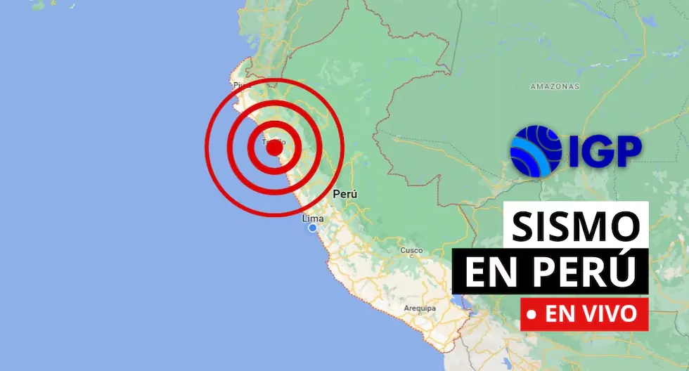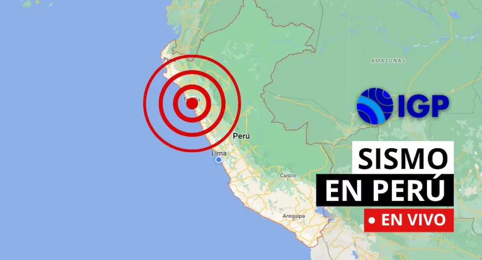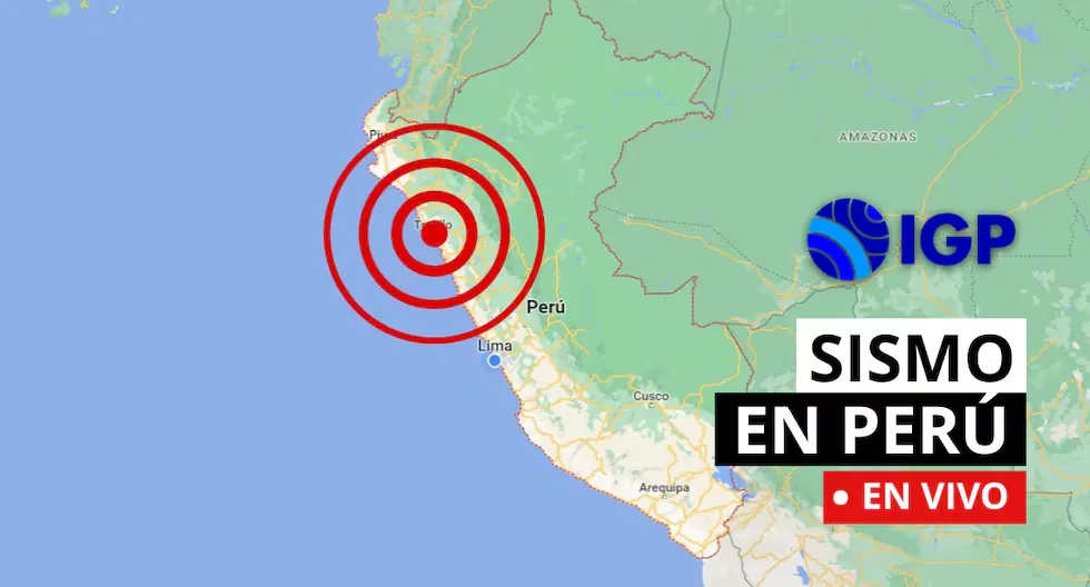







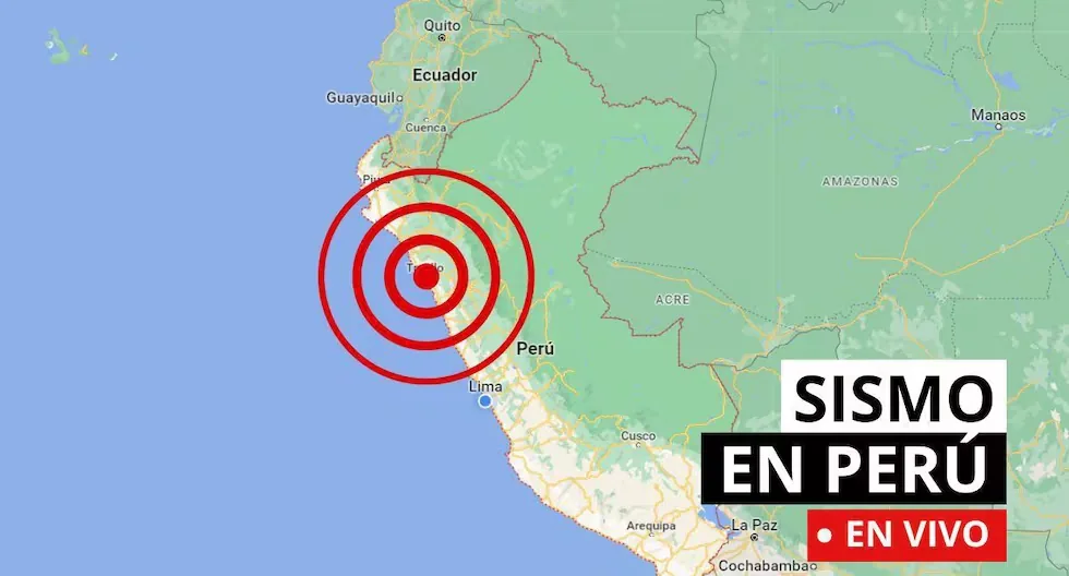
Follow live all seismic movements in the country, according to the reports published by the Geophysical Institute of Peru. Also check news related to this, as well as recommendations in these types of situations.
Read more Earthquake in Venezuela today, Thursday, July 30: epicenter and magnitude according to FUNVISIS
Earthquake in Peru today LIVE via the IGP
- WHAT IS A SEISMIC SWARM?
- A seismic swarm is a group of earthquakes that occur in the same area over a short period of time. Unlike a single strong earthquake, seismic swarms usually consist of numerous minor tremors. Often, there is no main earthquake triggering the swarm, but the seismic events occur more or less continuously and are related to tectonic processes.
- HOW TO ACT DURING AN EARTHQUAKE?
- • Go to the already established safety zones.
- • Stay away from glass or objects that could fall.
- • If possible, avoid panic and try to stay calm.
- • Do not run in vehicle passage areas.
- • If you are driving, stop your vehicle.
- • If you are in a building, do not use the elevator, always use the stairs.
- • Be attentive to minors, disabled people, and the elderly.
- EARTHQUAKE 17 KM S OF CHUPACA, CHUPACA – JUNÍN.
- • Local Date and Time: 29/07/2026,22:44:27
- • Magnitude: 3.7
- • Depth: 10 km
- • Latitude: -12.21
- • Longitude: -75.33
- • Intensity: III Chupaca
- EARTHQUAKE 17 KM S OF CHUPACA, CHUPACA – JUNÍN.
SEISMIC REPORT:
— National Seismological Center (@Sismos_Peru_IGP) July 30, 2026
IGP/CENSIS/RS 2026-0509
Local Date and Time: 29/07/2026,22:44:27
Magnitude: 3.7
Depth: 10 km
Latitude: -12.21
Longitude: -75.33
Intensity: III Chupaca
Reference: 17 km S of Chupaca, Chupaca – Junínhttps://t.co/S6CwRhCeO7
- EARTHQUAKE 31 KM SW OF PALPA, PALPA – ICA.
- • Local Date and Time: 29/07/2026,21:55:46
- • Magnitude: 3.7
- • Depth: 39 km
- • Latitude: -14.79
- • Longitude: -75.31
- • Intensity: II Palpa
- EARTHQUAKE 31 KM SW OF PALPA, PALPA – ICA.
SEISMIC REPORT:
— National Seismological Center (@Sismos_Peru_IGP) July 30, 2026
IGP/CENSIS/RS 2026-0508
Local Date and Time: 29/07/2026,21:55:46
Magnitude: 3.7
Depth: 39 km
Latitude: -14.79
Longitude: -75.31
Intensity: II Palpa
Reference: 31 km SW of Palpa, Palpa – Icahttps://t.co/DB7cgeP5iA
- HOW TO DIFFERENTIATE A TREMOR FROM AN EARTHQUAKE?
- The terms “tremor” and “earthquake” are often used interchangeably, but generally, the difference lies in their magnitude, perceived intensity, and reach.
- • Tremor: Refers to seismic movements of lesser intensity. Usually, it is used to describe low-magnitude earth tremors that do not cause significant damage to structures or people. They are perceptible, but their impact is mild.
- • Earthquake: Refers to a seismic event of greater magnitude. Earthquakes are significant seismic tremors that can cause severe damage to buildings, infrastructure, and, in the most severe cases, cause personal injuries and even loss of life. They have considerable magnitude and are often accompanied by aftershocks.
- WHAT IS AN EARTHQUAKE?
- An earthquake is a sudden breaking of rocks inside the Earth. This sudden release of energy propagates in the form of waves that cause ground movement.
- WHAT IS THE PACIFIC RING OF FIRE?
- The Pacific Ring of Fire is a geologically active region that surrounds the Pacific Ocean and the continents bordering its waters. It is characterized by a high frequency of earthquakes and volcanic activity. It extends approximately 40,000 kilometers, including subduction zones where tectonic plates collide (such as the Nazca plate), generating frequent volcanoes and earthquakes.
- WHY SHOULD YOU NEVER USE AN ELEVATOR DURING AN EARTHQUAKE?
- Experts recommend never using the elevator during an earthquake or tremor, as it could detach from its structure and fall from a great height with people inside.
- WHAT TO DO IN CASE OF A TSUNAMI?
- If you receive official tsunami alert or alarm information or see the sea receding, evacuate to higher areas. Move to a flood-free zone and head to the nearest meeting point. If you cannot reach a high area, go to an upper floor or the roof of a solid building.
- CHECK AND NOTE EMERGENCY ASSISTANCE NUMBERS.
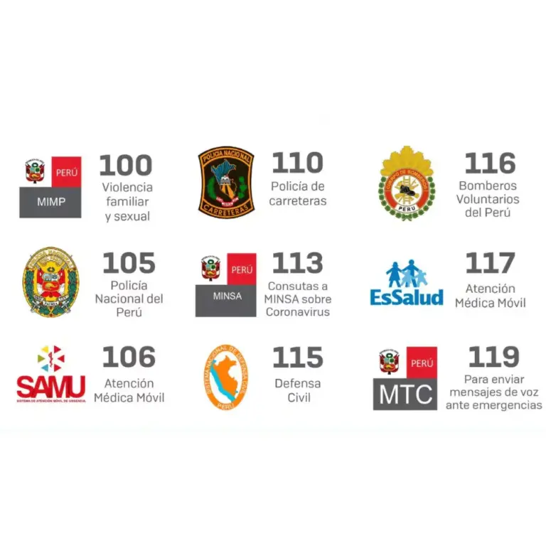
- WHAT SHOULD MY EMERGENCY BACKPACK CONTAIN?
- • Essential hygiene items
- • First aid kit (bandages, gauze, alcohol, pills, hydrogen peroxide, etc.)
- • Warm clothing
- • Non-perishable food (tuna cans, cereal bars, chocolates, nuts, etc.) and money
- • Communication items
- • Specific items for babies and infants, feminine use, elderly, and other basic needs.
- CHECK WHAT AN EMERGENCY BACKPACK FOR THE HOME SHOULD CONTAIN.
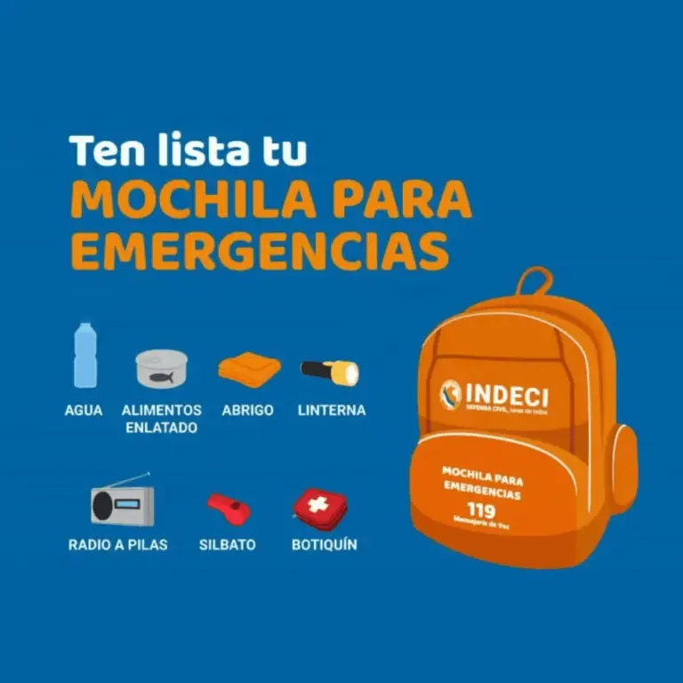
- EMERGENCY PHONE NUMBERS – PERU
- • Emergency line: 105
- (It is the national single emergency line, allowing Peruvians to access all emergency and security services with just one number).
- • National Police: 105
- • Firefighters: 116
- • Highway Police: 110
- • Civil Defense: 115
- • Infosalud: 113
- • Red Cross: 01 266 0481
- • SAMU Ambulance Service: 106
- WHY IS PERU A HIGHLY SEISMIC COUNTRY?
- Peru is located on the western edge of South America, the region with the highest seismic activity in the world, and therefore it is necessary to understand the probable behavior of this hazard in a given area in order to plan and mitigate the effects that could occur in the future. The way to understand this behavior is through seismic hazard assessment.
- HOW ARE EARTHQUAKE DATA OBTAINED IN PERU?
- CENSIS obtains its data from the National Seismic Network (DS-0017-2018MINAM), composed and integrated by a series of velocity, acceleration, and displacement sensors distributed throughout the country.
- WHAT SHOULD MY EMERGENCY BACKPACK CONTAIN?
• Essential hygiene items
• First aid kit (bandages, gauze, alcohol, pills, hydrogen peroxide, etc.)
• Warm clothing
• Non-perishable food (tuna cans, cereal bars, chocolates, nuts, etc.) and money
• Communication items
• Specific items for babies and infants, feminine use, elderly, and other basic needs.
- How to activate Google’s earthquake early warning
- Go to the Settings of your mobile device.
- Go to Emergencies.
- Scroll to where it says “Earthquake alerts”.
- EMERGENCY PHONE NUMBERS – PERU
• Emergency line: 105
(It is the national single emergency line, allowing Peruvians to access all emergency and security services with just one number).
• National Police: 105
• Firefighters: 116
• Highway Police: 110
• Civil Defense: 115
• Infosalud: 113
• Red Cross: 01 266 0481
• SAMU Ambulance Service: 106
- WHY SHOULD YOU NEVER USE AN ELEVATOR DURING AN EARTHQUAKE?
Experts recommend never using the elevator during an earthquake or tremor, as it could detach from its structure and fall from a great height with people inside.
- What are the places where most earthquakes occur in Peru?
- Áncash
- Ica
- Lima
- Arequipa
- Moquegua
- Tacna
- Earthquake 17 km S of Chupaca, Chupaca – Junín
- Local Date and Time: 28/07/2026 23:01:04
- Magnitude: 3.4
- Depth: 10km
- Latitude: -12.21
- Longitude: -75.32
- Intensity: II-III Chupaca
- Earthquake 24 km NE of Pucallpa, Coronel Portillo – Ucayali
- Local Date and Time: 28/07/2026 20:58:19
- Magnitude: 4.0
- Depth: 166km
- Latitude: -8.22
- Longitude: -74.38
- WHAT SHOULD MY EMERGENCY BACKPACK CONTAIN?
• Essential hygiene items
• First aid kit (bandages, gauze, alcohol, pills, hydrogen peroxide, etc.)
• Warm clothing
• Non-perishable food (tuna cans, cereal bars, chocolates, nuts, etc.) and money
Read more National Lottery Thursday, July 30: check winning numbers and tickets
• Communication items
• Specific items for babies and infants, feminine use, elderly, and other basic needs.
- WHAT IS THE LARGEST MAGNITUDE EARTHQUAKE RECORDED BY INSTRUMENTS IN PERU?
On Thursday, October 3, 1974, an 8.0 magnitude earthquake was recorded in Lima at 9:21 a.m., striking the capital of Peru as well as much of the Peruvian coast to the south. The movement lasted about 90 seconds and resulted in 252 deaths and 3,600 injuries.
- Peru is located in a seismic zone and the occurrence of earthquakes is inevitable. A study by the IGP indicates that there is accumulated seismic energy in the south of the country, which should encourage participation in drills.
The entity responsible for recording every tremor in the country is the Geophysical Institute of Peru (IGP). It also provides official information every time an earthquake occurs through its social media accounts.
- HOW ARE EARTHQUAKE DATA OBTAINED IN PERU?
CENSIS obtains its data from the National Seismic Network (DS-0017-2018MINAM), composed and integrated by a series of velocity, acceleration, and displacement sensors distributed throughout the country.
- WHY IS PERU A HIGHLY SEISMIC ZONE?
Peru is a highly seismic country because it is located within the Pacific Ring of Fire.
Check here the latest records from the Geophysical Institute of Peru about seismic movements in the country.
• La Tinka: results from Wednesday, July 29