![Alberto Beingolea: “If they insist on not giving [the powers], they are complicating life for Peru”](https://insightermedia.com/wp-content/uploads/2026/09/bb3fa9e11304ea13fe2cd333955007bc-150x150.webp "Alberto Beingolea: “If they insist on not giving [the powers], they are complicating life for Peru”")



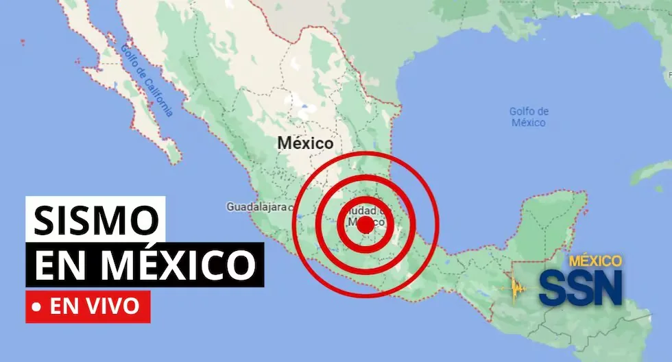
EARTHQUAKE IN MEXICO VIA THE NATIONAL SEISMOLOGICAL SERVICE
In the context of Plate Tectonics, Mexico is located in the so-called Ring of Fire, where a large part of the seismic movements worldwide are recorded. The country is located on the North American Plate, bordered on its southern and western portion by the Cocos, Rivera, and Pacific plates.
Mexico is one of the countries in the world with the highest seismic activity, since, according to statistics, more than 90 earthquakes per year with a magnitude greater than 4 on the Richter scale are recorded, which is equivalent to 60% of all seismic movements recorded worldwide.
Based on statistical records, the states with the highest risk and where large magnitude earthquakes that can affect Mexico City occur are: Jalisco, Colima, Michoacán, Guerrero, Oaxaca, Puebla, State of Mexico, and Veracruz.
- EARTHQUAKE 124 km SOUTHWEST of CD HIDALGO, CHIS
- Magnitude 4.2
- 2026-07-19 20:09:40 (Central Time)
- Latitude: 14.158º, Longitude: -93.171º
- Depth: 10.0 km
- Earthquake 155 km SOUTHWEST of CD HIDALGO, CHIS
- Magnitude 4.7
- 2026-07-19 19:53:39 (Central Time)
- Latitude: 14.13º, Longitude: -93.475º
- Depth: 15.0 km
- How often should the survival kit be checked?
It is recommended to check the backpack every 6 months to verify the expiration date of food, water, and medicines, as well as the condition of the batteries.
- How much should the survival backpack weigh?
The ideal weight should not exceed 25% of the body weight of the person who will carry it, ensuring a quick and agile evacuation.
- Earthquake 147 km southwest of Ciudad Hidalgo, Chiapas
Magnitude: 4.2
Date: 19/07/26
Time: 15:15:36
Latitude: 14.142
Longitude: -93.395
Depth: 15.0 km
- Earthquake 138 km southwest of Ciudad Hidalgo, Chiapas
Magnitude: 4.2
Date: 19/07/26
Time: 13:53:37
Latitude: 13.720
Longitude: -92.965
Depth: 19.7 km
- Earthquake 161 km southwest of Ciudad Hidalgo, Chiapas
Magnitude: 4.4
Date: 19/07/26
Time: 12:40:13
Latitude: 13.767
Longitude: -93.309
Depth: 16.1 km
- Earthquake 164 km southwest of Ciudad Hidalgo, Chiapas
Magnitude: 5.5
Date: 19/07/26
Time: 11:45:10
Latitude: 13.678
Longitude: -93.272
Depth: 5.0 km
- Earthquake 131 km southwest of Ciudad Hidalgo, Chiapas
Magnitude: 4.4
Date: 19/07/26
Time: 10:31:56
Latitude: 13.848
Longitude: -93.022
Depth: 7.8 km
- Earthquake 143 km southwest of Ciudad Hidalgo, Chiapas
Magnitude: 4.3
Date: 19/07/26
Time: 10:05:00
Latitude: 14.083
Longitude: -93.334
Depth: 17.0 km
- Earthquake 134 km southwest of Ciudad Hidalgo, Chiapas
Magnitude: 4.5
Date: 19/07/26
Time: 09:44:12
Latitude: 13.767
Longitude: -92.969
Depth: 2.6 km
- Earthquake 39 km south of Mapastepec, Chiapas
Magnitude: 4.6
Date: 19/07/26
Time: 09:44:27
Latitude: 15.09
Longitude: -92.90
Depth: 10 km
- Earthquake 136 km southwest of Ciudad Hidalgo, Chiapas
Magnitude: 4.5
Date: 19/07/26
Time: 09:20:34
Latitude: 13.784
Longitude: -93.015
Depth: 6.1 km
Earthquake 125 km SOUTHWEST of CD HIDALGO
- Local Date and Time: 2026-07-19 7:33:31
- Magnitude: 4.3
- Depth: 10.2 km
- Latitude: 14.055
- Longitude: -93.115
Earthquake 146 km SOUTHWEST of CD HIDALGO
- Local Date and Time: 2026-07-19 6:06:27
- Magnitude: 4.3
- Depth: 4.5 km
- Latitude: 13.743
- Longitude: -93.109
Earthquake 136 km SOUTHWEST of CD HIDALGO
- Local Date and Time: 2026-07-19 4:51:30
- Magnitude: 4.3
- Depth: 9.6 km
- Latitude: 13.921
- Longitude: -93.144
Earthquake 138 km SOUTHWEST of HUIXTLA
- Local Date and Time: 2026-07-19 4:39:36
- Magnitude: 4.3
- Depth: 19.3 km
- Latitude: 14.245
- Longitude: -93.366
- WHAT IS THE LARGEST MAGNITUDE EARTHQUAKE THAT SHOOK MEXICO CITY?
On September 19, 1985, Mexico City experienced a devastating earthquake of 8.1 magnitude, with its epicenter on the Pacific coast.
It is estimated that at least 10,000 people lost their lives, affecting and collapsing thousands of housing, commercial, and public service structures.
Read more Horoscope for Monday, July 20: forecasts on love and health
- WHAT IS AN EARTHQUAKE?
An earthquake is a sudden breaking of rocks inside the Earth. This sudden release of energy propagates in the form of waves that cause ground movement.
- HOW LONG DOES AN EARTHQUAKE LAST AND WHY DOES THE SSN NOT REPORT THIS DATA?
When we talk about the duration of an earthquake, we can refer to several different concepts: One is the duration of the movement perceived by humans, another is the duration of the instrumental record (which can be several minutes), and another is the time the fault movement that caused the earthquake lasted (which can be just a few seconds).
- WHAT IS THE DIFFERENCE BETWEEN THE MAGNITUDE AND INTENSITY OF AN EARTHQUAKE?
They are scales to measure the size or impact of a tremor. The magnitude scale is obtained numerically from records obtained by seismographs and is related to the size and energy released during a tremor. The intensity scale is assigned based on the damage or effects caused to people and their constructions.
- WHY DO SO MANY EARTHQUAKES OCCUR IN MEXICO?
In the context of Plate Tectonics, Mexico is located in the so-called Ring of Fire, where a large part of the seismic movements worldwide are recorded. The country is located on the North American Plate, bordered on its southern and western portion by the Cocos, Rivera, and Pacific plates.
- Mexico is one of the countries in the world with the highest seismic activity, since according to statistics, more than 90 earthquakes per year with a magnitude greater than 4 on the Richter scale are recorded, which is equivalent to 60% of all seismic movements recorded worldwide.
23:24
What was the magnitude and where was the last earthquake in Mexico? Watch live here the reports from the National Seismological Service (SSN) about earthquakes in the country.