![Alberto Beingolea: “If they insist on not giving [the powers], they are complicating life for Peru”](https://insightermedia.com/wp-content/uploads/2026/09/bb3fa9e11304ea13fe2cd333955007bc-150x150.webp "Alberto Beingolea: “If they insist on not giving [the powers], they are complicating life for Peru”")



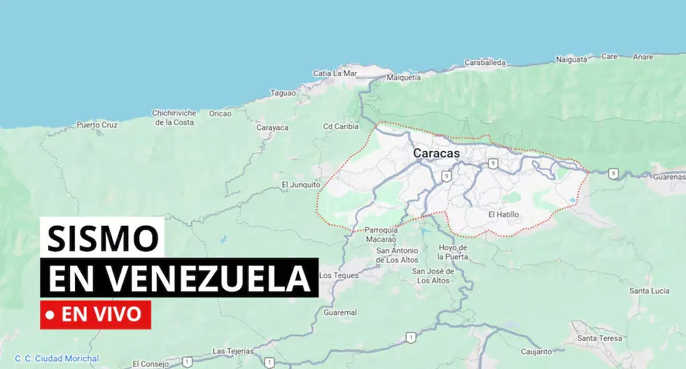
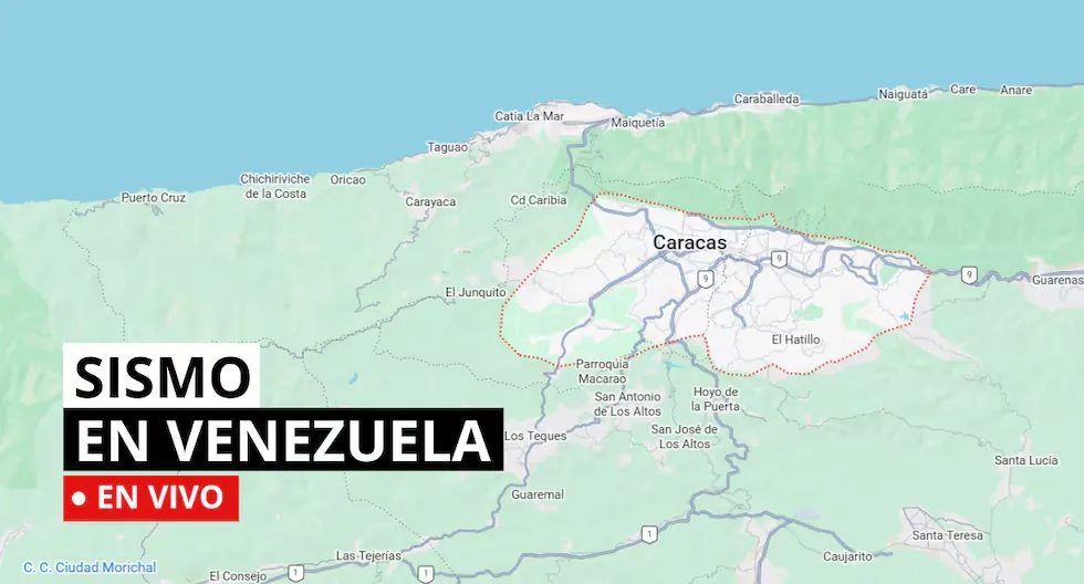
Earthquakes in Venezuela LIVE: latest tremors, epicenter and magnitude
Earthquake 7 km west of Naiguata
Date: 07/17/2026
Time: 22:44
Mag (Mw): 2.7
Depth: 3.3 km
Epicenter: 10.622 N -66.805 W
Earthquake 31 km south of Irapa
Date: 07/17/2026
Time: 21:01
Mag (Mw): 2.9
Depth: 4.9 km
Epicenter: 10.301 N -62.536 W
Earthquake 42 km southeast of Bachaquero
Date: 07/17/2026
Time: 19:05
Mag (Mw): 3.0
Depth: 3.6 km
Epicenter: 9.818 N -70.761 W
How is a tremor different from an earthquake?
Both are movements of the Earth, but we usually call “earthquake” those of greater magnitude and destructive impact, while “tremor” is used for milder quakes.
Read more “Changes increasingly visible”: check what your horoscope anticipates for this week
Why are multiple magnitudes reported for the same earthquake?
Because the first information comes from nearby stations and is adjusted as more data arrives from different sensors. Science continues calculating after the first alert.
How do we know when it will tremble?
Earthquakes cannot be predicted, but seismographs and accelerographs detect ground movements in real time to alert us as quickly as possible.
- HOW IS A TREMOR DIFFERENT FROM AN EARTHQUAKE?
- The terms “tremor” and “earthquake” are often used interchangeably, but generally, the difference lies in their magnitude, perceived intensity, and reach.
- • Tremor: Refers to seismic movements of lesser intensity. Usually, it is used to describe low-magnitude earth tremors that do not cause significant damage to structures or people. They are perceptible, but their impact is mild.
- • Earthquake: Refers to a seismic event of greater magnitude. Earthquakes are significant seismic tremors that can cause severe damage to buildings, infrastructure, and, in the most severe cases, cause personal injuries and even loss of life. They have considerable magnitude and are often accompanied by aftershocks.
- Earthquake 7 km west of Naiguata
- Date: 07-17-2026 17:17
- Depth: 8.6 km
- Magnitude: 2.3
- Earthquake 235 km southwest of Bucaramanga
- Date: 07-17-2026 16:59
- Depth: 180.6 km
- Magnitude: 3.7
- WHAT IS THE PACIFIC RING OF FIRE?
- The Pacific Ring of Fire is a geologically active region surrounding the Pacific Ocean and the continents bordering its waters. It is characterized by a high frequency of earthquakes and volcanic activity. It extends approximately 40,000 kilometers, including subduction zones where tectonic plates collide (such as the Nazca plate), generating frequent volcanoes and earthquakes.
- Earthquake 13 km southeast of Caracas
- Date: 07-17-2026 16:27
- Depth: 5.0 km
- Magnitude: 2.1
- WHAT IS AN EARTHQUAKE?
- An earthquake is a sudden rupture of rocks inside the Earth. This sudden release of energy propagates as waves that cause ground movement.
- WHAT TO DO IN CASE OF A TSUNAMI?
- If you receive official tsunami alert or alarm information or see the sea receding, evacuate to higher areas. Move to a flood-free zone and head to the nearest meeting point. If you cannot reach a higher area, go to an upper floor or the roof of a solid building. “Diario El Comercio. All rights reserved.”
- Earthquake 6 km west of Naiguata
- Date: 07-17-2026 15:48
- Depth: 3.5 km
- Magnitude: 2.4
- Earthquake 25 km southwest of Boca de Aroa
- Date: 07-17-2026 15:37
- Depth: 11.4 km
- Magnitude: 2.4
- Earthquake 8 km east of La Victoria
- Date: 07-17-2026 15:31
- Depth: 9.2 km
- Magnitude: 2.5
- Earthquake 11 km north of La Guaira
- Date. 07-17-2026 14:45
- Depth: 8.9 km
- Magnitude: 2.2
- Earthquake 4 km northwest of La Guaira
- Date: 07-17-2026 14:25
- Depth: 1.8 km
- Magnitude: 2.4
- Earthquake 27 km north of La Victoria
- Date: 07-17-2026 14:06
- Depth: 5.0 km
- Magnitude: 2.2
- Earthquake 36 km north of La Victoria
- Date: 07-17-2026 13:52
- Depth: 5.0 km
- Magnitude: 2.0
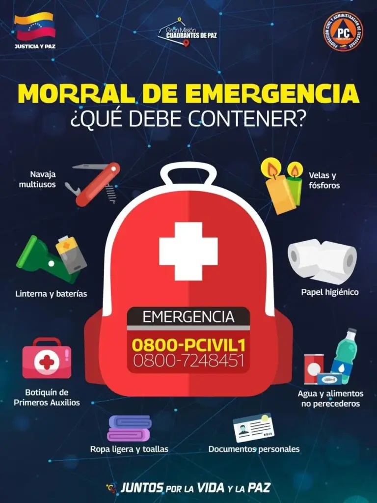
- WHAT SHOULD MY EMERGENCY BACKPACK CONTAIN?
- • Essential hygiene items
- • First aid kit (bandages, gauze, alcohol, pills, hydrogen peroxide, etc)
- • Warm clothing
- • Non-perishable food (tuna cans, cereal bars, chocolates, nuts, etc) and money
- • Communication items
- • Specific items for babies and infants, feminine use, elderly, and other basic needs.
- CHECK WHAT AN EMERGENCY HOME BACKPACK SHOULD CONTAIN.
- Earthquake 11 km northwest of Naiguata
- Date: 07-17-2026 13:15
- Depth: 4.1 km
- Magnitude: 2.0
- Earthquake 1 km west of Naiguata
- Date: 07-17-2026 12:21
- Depth: 6.2 km
- Magnitude: 1.8
- Earthquake 28 km northeast of San Felipe
- Date: 07-17-2026 10:35
- Depth: 9.0 km
- Magnitude: 2.8
- Earthquake 32 km northwest of Los Teques
- Date: 07-17-2026 09:44
- Depth: 4.4 km
- Magnitude: 1.7
- Earthquake 11 km southwest of Naiguata
- Date: 07-17-2026 07:34
- Depth: 3.8 km
- Magnitude: 2.2
- Earthquake 37 km northeast of Moron
- Date: 07-17-2026 05:41
- Depth: 1.8 km
- Magnitude: 2.3
- Earthquake 0 km southeast of Mene de Mauroa
- Date: 07-17-2026 05:21
- Depth: 28.9 km
- Magnitude: 3.3
- WHAT IS SEISMIC SILENCE?
- Seismic silence is a prolonged period without significant seismic activity or intensity in a region, which may indicate the accumulation of tectonic stresses and an increased risk of a future earthquake.
- WHAT TO DO IN CASE OF A TSUNAMI?
- If you receive official tsunami alert or alarm information or see the sea receding, evacuate to higher areas. Move to a flood-free zone and head to the nearest meeting point. If you cannot reach a higher area, go to an upper floor or the roof of a solid building.
- WHAT IS FUNVISIS?
- The Venezuelan Foundation for Seismological Research (Funvisis) is the organization responsible for conducting and promoting seismological research and studies, as well as operating and maintaining the stations of Venezuela’s seismological service, from where all seismic activity in that country is recorded and monitored.
- Earthquake 32 km northwest of Los Teques
07-17-2026 09:44
Depth: 4.4 km
Magnitude: 1.7
- Earthquake 11 km southwest of Naiguata
07-17-2026 07:34
Depth: 3.8 km
Magnitude: 2.2
- Earthquake 37 km northeast of Moron
07-17-2026 05:41
Depth: 1.8 km
Magnitude: 2.3
- Earthquake 0 km southeast of Mene de Mauroa
07-17-2026 05:21
Depth: 28.9 km
Magnitude: 3.3
- Earthquake 18 km southeast of La Victoria
07-17-2026 05:05
Depth: 4.9 km
Magnitude: 1.9
WHAT ARE THE TECTONIC PLATES IN VENEZUELA?
The Caribbean plate is the geological zone that covers Central America and the Caribbean Sea, while the South American plate supports almost the entire South American area and part of the Atlantic Ocean floor.
Both plates mainly interact in northern South America through lateral slips and subduction zones (convergent boundary where a larger plate sinks beneath a lighter one toward the Earth’s mantle).
WHAT IS SEISMIC SILENCE?
Seismic silence is a prolonged period without significant seismic activity or intensity in a region, which may indicate the accumulation of tectonic stresses and an increased risk of a future earthquake.
Read more Dollar price today: check the exchange rate for Saturday, July 18
WHAT TO DO IN CASE OF A TSUNAMI?
If you receive official tsunami alert or alarm information or see the sea receding, evacuate to higher areas. Move to a flood-free zone and head to the nearest meeting point. If you cannot reach a higher area, go to an upper floor or the roof of a solid building.
WHAT IS THE DIFFERENCE BETWEEN MAGNITUDE AND INTENSITY OF AN EARTHQUAKE?
They are scales to measure the size or impact of a tremor. The magnitude scale is obtained numerically from records obtained by seismographs and is related to the size and energy released during a tremor. The intensity scale is assigned based on the damage or effects caused to people and their constructions.
WHAT IS FUNVISIS?
The Venezuelan Foundation for Seismological Research (Funvisis) is the organization responsible for conducting and promoting seismological research and studies, as well as operating and maintaining the stations of Venezuela’s seismological service, from where all seismic activity in that country is recorded and monitored.
In this note you can review the latest earthquakes in Venezuela with information from the official reports of the Venezuelan Foundation for Seismological Research (Funvisis).
Read more Telemundo live today, France vs. England for third place in the 2026 World Cup