![Alberto Beingolea: “If they insist on not giving [the powers], they are complicating life for Peru”](https://insightermedia.com/wp-content/uploads/2026/09/bb3fa9e11304ea13fe2cd333955007bc-150x150.webp "Alberto Beingolea: “If they insist on not giving [the powers], they are complicating life for Peru”")



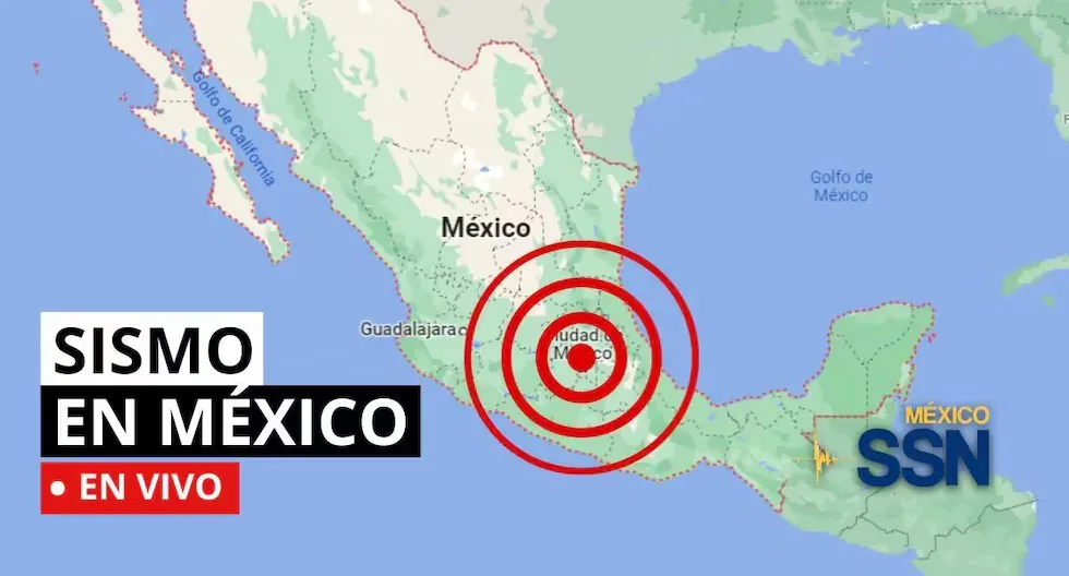
EARTHQUAKE IN MEXICO VIA THE NATIONAL SEISMOLOGICAL SERVICE
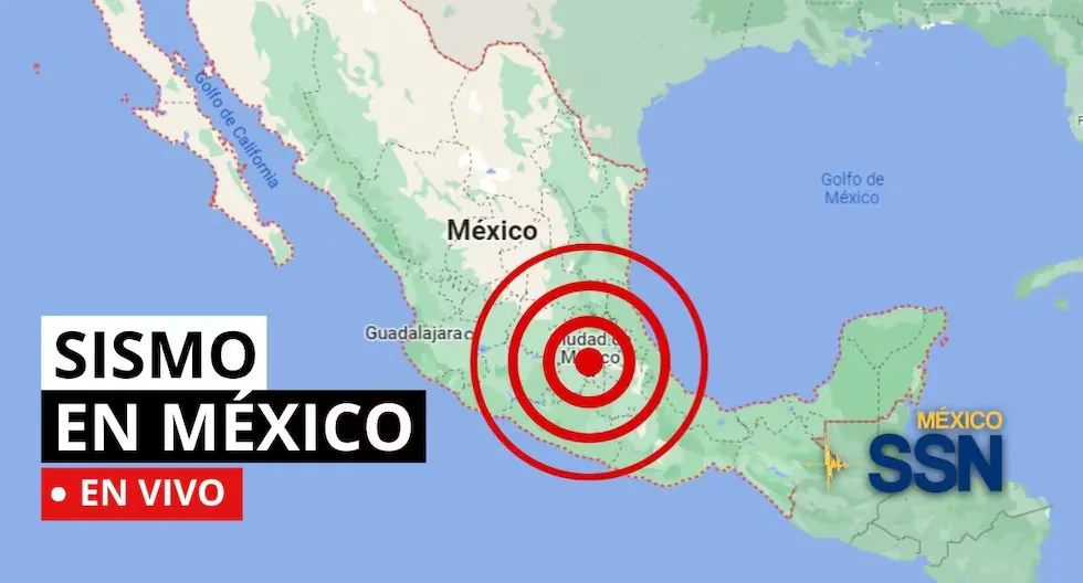
In the context of Plate Tectonics, Mexico is located in the so-called Ring of Fire, where a large part of the seismic movements worldwide are recorded. The country is located on the North American Plate, bordered on its southern and western portion by the Cocos, Rivera, and Pacific plates.
Read more Armonía 10 clarifies suspension of their concert in Manchay and denies alleged attack
Mexico is one of the countries in the world with the highest seismic activity, as statistics show that more than 90 earthquakes per year with a magnitude greater than 4 on the Richter scale are recorded, which accounts for 60% of all seismic movements recorded worldwide.
Based on statistical records, the states with the highest risk and where large magnitude earthquakes that can affect Mexico City occur are: Jalisco, Colima, Michoacán, Guerrero, Oaxaca, Puebla, State of Mexico, and Veracruz.
- WHY DO SO MANY EARTHQUAKES OCCUR IN MEXICO?
In the context of Plate Tectonics, Mexico is located in the so-called Ring of Fire, where a large part of the seismic movements worldwide are recorded. The country is located on the North American Plate, bordered on its southern and western portion by the Cocos, Rivera, and Pacific plates.
Mexico is one of the countries in the world with the highest seismic activity, as statistics show that more than 90 earthquakes per year with a magnitude greater than 4 on the Richter scale are recorded, which accounts for 60% of all seismic movements recorded worldwide.
- EARTHQUAKE 113 km SOUTHWEST of MAPASTEPEC, CHIS
- Magnitude 4.2
- Date: 2026-08-10
- Time: 13:14:12 (Central Time)
- Latitude: 14.589º
- Longitude: -93.47º
- Depth: 15.0 km
- Weekly seismicity: from August 3 to 9, 2026
Weekly seismicity: from August 3 to 9, 2026 pic.twitter.com/WFYfIfUCtk
— National Seismological Service (@SSNMexico) August 10, 2026
- EARTHQUAKE 83 km SOUTHWEST of HUIXTLA, CHIS
- Magnitude 4.0
- Date: 2026-08-10
- Time:12:18:05 (Central Time)
- Latitude: 14.69º
- Longitude: -93.09º
- Depth: 14.7 km
- EARTHQUAKE 6 km SOUTHWEST of ATOYAC DE ALVAREZ, GRO
- Magnitude 4.4
- Date: 2026-08-10
- Time: 09:49:49 (Central Time)
- Latitude: 17.186º
- Longitude: -100.481º
- Depth: 34.1 km
- As of 08:00 hours on August 10, 2026, 1,590 aftershocks of the M 7.4 earthquake that occurred in Ciudad Hidalgo, Chiapas on July 17, 2026, have been recorded, the largest with a magnitude of M 6.5.
- How are earthquakes detected?
- As seismic waves propagate, they cause ground movement where they pass. To record these movements, equipment called seismographs or accelerographs are used, whose operating principle, based on the inertia of bodies, consists of a mass suspended by a spring that allows it to remain at rest for a few moments relative to the ground movement. If a pencil that can draw on paper attached to a cylinder rotating at a constant speed is attached to the suspended mass, a record of ground movement or seismogram is obtained.
- Modern seismographs use this same operating principle, but for their implementation, they use mechanical and electronic components to obtain an electrical signal proportional to ground movement, which can be stored locally or transmitted by some communication means (telephone, radio, satellite) to an acquisition center.
- Morning seismicity report 2026-08-10 including all located earthquakes with magnitude less than 4.0 updated until 05:00 hours:
- 3.4 2026-08-10 4:54:28 23 km NORTHWEST of RIO GRANDE, OAX: 16.2°, -97.522° 36.5 km
- 3.8 2026-08-10 4:40:04 77 km SOUTHWEST of TAPACHULA, CHIS: 14.551°, -92.874° 34.8 km
- 3.4 2026-08-10 4:38:35 46 km NORTH of MATIAS ROMERO, OAX: 17.273°, -95.145° 113.8 km
- 3.1 2026-08-10 4:24:30 15 km WEST of CASIMIRO CASTILLO, JAL: 19.59°, -104.577° 74.3 km
- 3.5 2026-08-10 4:17:16 72 km SOUTHWEST of PINOTEPA NACIONAL, OAX: 15.735°, -98.288° 17.7 km
- 3.0 2026-08-10 4:07:07 12 km SOUTHWEST of SAN MARCOS, GRO: 16.741°, -99.487° 20.9 km
- 3.0 2026-08-10 4:02:09 17 km NORTHWEST of AUTLAN DE NAVARRO, JAL: 19.867°, -104.494° 39.1 km
- 3.9 2026-08-10 3:56:19 69 km NORTHEAST of SAN FELIPE, BC: 31.433°, -114.286° 18.9 km
- 3.5 2026-08-10 3:54:17 92 km SOUTHWEST of OMETEPEC, GRO: 16.007°, -98.901° 16.3 km
- 3.7 2026-08-10 3:53:53 62 km NORTHEAST of SAN FELIPE, BC: 31.415°, -114.367° 10.0 km
- 3.3 2026-08-10 3:52:13 19 km SOUTHEAST of TEPALCATEPEC, MICH: 19.125°, -102.681° 16.5 km
- 3.8 2026-08-10 3:36:22 57 km NORTHEAST of LAS GUACAMAYAS, MICH: 18.285°, -101.746° 67.3 km
- 3.7 2026-08-10 3:01:27 111 km SOUTHWEST of RIO GRANDE, OAX: 15.047°, -97.716° 16.7 km
- 3.8 2026-08-10 2:52:35 6 km SOUTHWEST of PETATLAN, GRO: 17.486°, -101.302° 33.4 km
- 3.8 2026-08-10 2:43:29 77 km SOUTHWEST of MAPASTEPEC, CHIS: 14.878°, -93.318° 57.8 km
- 3.4 2026-08-10 2:35:26 57 km NORTHEAST of UNION HIDALGO, OAX: 16.875°, -94.487° 114.7 km
- 3.6 2026-08-10 2:19:08 16 km WEST of COYUCA DE BENITEZ, GRO: 16.992°, -100.241° 8.5 km
- 3.1 2026-08-10 1:59:49 14 km NORTHWEST of RIO GRANDE, OAX: 16.108°, -97.513° 33.1 km
- 3.9 2026-08-10 1:59:31 154 km SOUTHWEST of CD HIDALGO, CHIS: 13.921°, -93.35° 10.0 km
- 3.7 2026-08-10 1:45:21 39 km WEST of PIJIJIAPAN, CHIS: 15.697°, -93.572° 92.5 km
- 2.9 2026-08-10 1:22:15 41 km EAST of PETATLAN, GRO: 17.546°, -100.884° 12.6 km
- 3.6 2026-08-10 1:11:56 31 km SOUTHEAST of MACUSPANA, TAB: 17.538°, -92.419° 32.0 km
- 3.6 2026-08-10 0:40:45 21 km SOUTHEAST of SAYULA DE ALEMAN, VER: 17.701°, -94.895° 125.7 km
- 3.6 2026-08-10 0:39:08 57 km SOUTHEAST of NUEVA ITALIA, MICH: 18.546°, -101.887° 64.0 km
- 3.2 2026-08-10 0:30:58 72 km SOUTHWEST of GPE VICTORIA(KM.43), BC: 31.953°, -115.752° 20.1 km
- 3.9 2026-08-10 0:21:00 144 km SOUTHWEST of CD HIDALGO, CHIS: 14.079°, -93.336° 10.0 km
- 3.5 2026-08-10 0:16:27 25 km NORTHEAST of MANZANILLO, COL: 19.184°, -104.117° 4.8 km
- 3.6 2026-08-10 0:07:06 59 km SOUTH of J RODRIGUEZ CLARA, VER: 17.463°, -95.452° 11.8 km
- EARTHQUAKE 88 km SOUTHWEST of MAPASTEPEC, CHIAPAS
- Magnitude 4.2
- Date: 2026-08-09
- Time:22:51:37 (Central Time)
- Latitude: 14.697º
- Longitude: -93.17º
- Depth: 12.4 km
Why does the Earth shake?
Because tectonic plates move and accumulate energy. When this energy is suddenly released, an earthquake occurs.
How to prepare before an earthquake?
Conduct drills, have your emergency backpack ready, and plan an evacuation route with your family. Prevention saves lives.
What is the difference between earthquake, tremor, quake, and seismic movement?
They are synonyms, but in some countries “earthquake” is used for the most destructive quakes.
What should my emergency backpack contain?
It should contain the essentials to survive the first hours after an earthquake:
– Hygiene items
– First aid kit with bandages, alcohol, gauze, pills, among others
– Warm clothing
– Non-perishable food such as tuna, energy bars, chocolates, and nuts, as well as cash
– Radio or flashlight with batteries
– Specific items according to needs, such as products for babies, elderly, or pets
What to do after an earthquake?
Check for injured people, turn off gas and electricity leaks, avoid using the elevator, and stay away from damaged structures. If you are in a coastal area, check for tsunami alerts.
How is a tremor different from an earthquake?
Both are movements of the Earth, but we usually call “earthquake” those of greater magnitude and destructive impact, while “tremor” is used for milder quakes.
Why are several magnitudes reported for the same earthquake?
Because the first information comes from nearby stations and is adjusted as more data arrives from different sensors. Science continues calculating after the first alert.
How do we know when it will shake?
Earthquakes cannot be predicted, but seismographs and accelerographs detect ground movements in real time to alert us as quickly as possible.
What to do if I am on the street when an earthquake starts?
Find an open place away from poles, trees, or buildings. Beware of electrical wires. If you are driving, stop cautiously in a safe place.
The SSN reminds that every family should always have an emergency plan for earthquakes.
- WHERE SHOULD THE EMERGENCY BACKPACK BE STORED?
It should be located in a visible, dry, and easily accessible place, preferably near the main exit door of the home.
- WHAT NUMBER TO CALL IN CASE OF EARTHQUAKES IN MEXICO?
In case of an earthquake in Mexico, the emergency numbers to call are:
- Emergency service: 911
- Civil Protection Secretariat: 56 83 22 22
- Police: 060
- Red Cross: 065 and 53 95 11 11
- Firefighters: 57 68 25 32
- Locatel: 56 58 11 11
- WHICH STATES IN MEXICO RECORD THE MOST EARTHQUAKES?
The areas with the highest seismic activity are usually:
- Oaxaca
- Guerrero
- Chiapas
- Michoacán
- Colima
- Jalisco
- Mexico City (although many movements originate in other states)
In the event of a large magnitude earthquake, remember to avoid calling landlines or cell phones, as this causes saturation of mobile lines; opt to send text messages.
- CAN EARTHQUAKES BE PREDICTED?
To date, there is no technique that allows predicting earthquakes. Not even countries like the United States and Japan, whose technology is very advanced, have been able to develop a predictive technique for tremors.
- CAN ALL EARTHQUAKES GENERATE TSUNAMIS?
A Tsunami consists of waves several meters high produced by an earthquake whose hypocenter is located under the ocean. These earthquakes cause the seabed to move vertically, generating a violent displacement of the volume of water above it.
- Earthquake 5 km NORTH of SAN JOSE DEL CABO
- Local Date and Time: 2026-08-09 4:50:35
- Magnitude: 2.5
- Depth: 14.0 km
- Latitude: 23.103
- Longitude: -109.706
- How is the magnitude of an earthquake determined?
- The magnitude of a tremor is related to the energy released in the form of seismic waves that propagate through the ground. To calculate this energy and determine the magnitude of a tremor, mathematical calculations are performed based on records obtained by seismographs from different stations. In these records or seismograms, the maximum amplitude of the waves and the distance of the station from the epicenter are measured. These values are input into a formula, thus obtaining the magnitude.
- EARTHQUAKE 43 km NORTHWEST of STA MARIA ATZOMPA, OAXACA
- Magnitude 4.0
- Date: 2026-08-09
- Time: 04:41:44 (Central Time)
- Latitude: 17.372º
- Longitude: -97.072º
- Depth: 55.0 km
- EARTHQUAKE 127 km SOUTHWEST of CD HIDALGO, CHIS
- Magnitude 4.0
- Date: 2026-08-09
- Time: 04:24:41 (Central Time)
- Latitude: 14.189º
- Longitude: -93.219º
- Depth: 5.0 km
- EARTHQUAKE 140 km SOUTHWEST of CD HIDALGO, CHIS
- Magnitude 4.2
- Date: 2026-08-09
- Time: 03:51:11 (Central Time)
- Latitude: 13.97º
- Longitude: -93.23º
- Depth: 8.1 km
WHAT IS THE LARGEST MAGNITUDE EARTHQUAKE THAT SHOOK MEXICO CITY?
On September 19, 1985, Mexico City experienced a devastating earthquake of 8.1 magnitude, with its epicenter on the Pacific coast.
It is estimated that at least 10,000 people lost their lives, affecting and collapsing thousands of housing, commercial, and public service structures.
WHAT IS AN EARTHQUAKE?
An earthquake is a sudden rupture of rocks inside the Earth. This sudden release of energy propagates in the form of waves that cause ground movement.
HOW LONG DOES AN EARTHQUAKE LAST AND WHY DOES THE SSN NOT REPORT THIS DATA?
When we talk about the duration of an earthquake, we can refer to several different concepts: One is the duration of the movement perceived by humans, another is the duration of the instrumental record (which can be several minutes), and another is the time the fault movement that caused the earthquake lasted (which can be just a few seconds).
WHAT IS THE DIFFERENCE BETWEEN THE MAGNITUDE AND INTENSITY OF AN EARTHQUAKE?
They are scales to measure the size or impact of a tremor. The magnitude scale is obtained numerically from records obtained by seismographs and is related to the size and energy released during a tremor. The intensity scale is assigned based on the damage or effects caused to people and their constructions.
WHY DO SO MANY EARTHQUAKES OCCUR IN MEXICO?
In the context of Plate Tectonics, Mexico is located in the so-called Ring of Fire, where a large part of the seismic movements worldwide are recorded. The country is located on the North American Plate, bordered on its southern and western portion by the Cocos, Rivera, and Pacific plates.
Mexico is one of the countries in the world with the highest seismic activity, as statistics show that more than 90 earthquakes per year with a magnitude greater than 4 on the Richter scale are recorded, which accounts for 60% of all seismic movements recorded worldwide.
01:42
What was the magnitude and where was the last tremor in Mexico? Watch live here the reports from the National Seismological Service (SSN) about earthquakes in the country.
Read more Shakira dedicates powerful message to Colombia after strong earthquake: “My heart is with everyone”